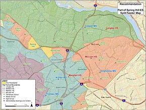
(Click on "Download .JPG" to see large map.) The area in yellow shows the FCPS’ recommended proposed boundary adjustment areas to be reassigned.
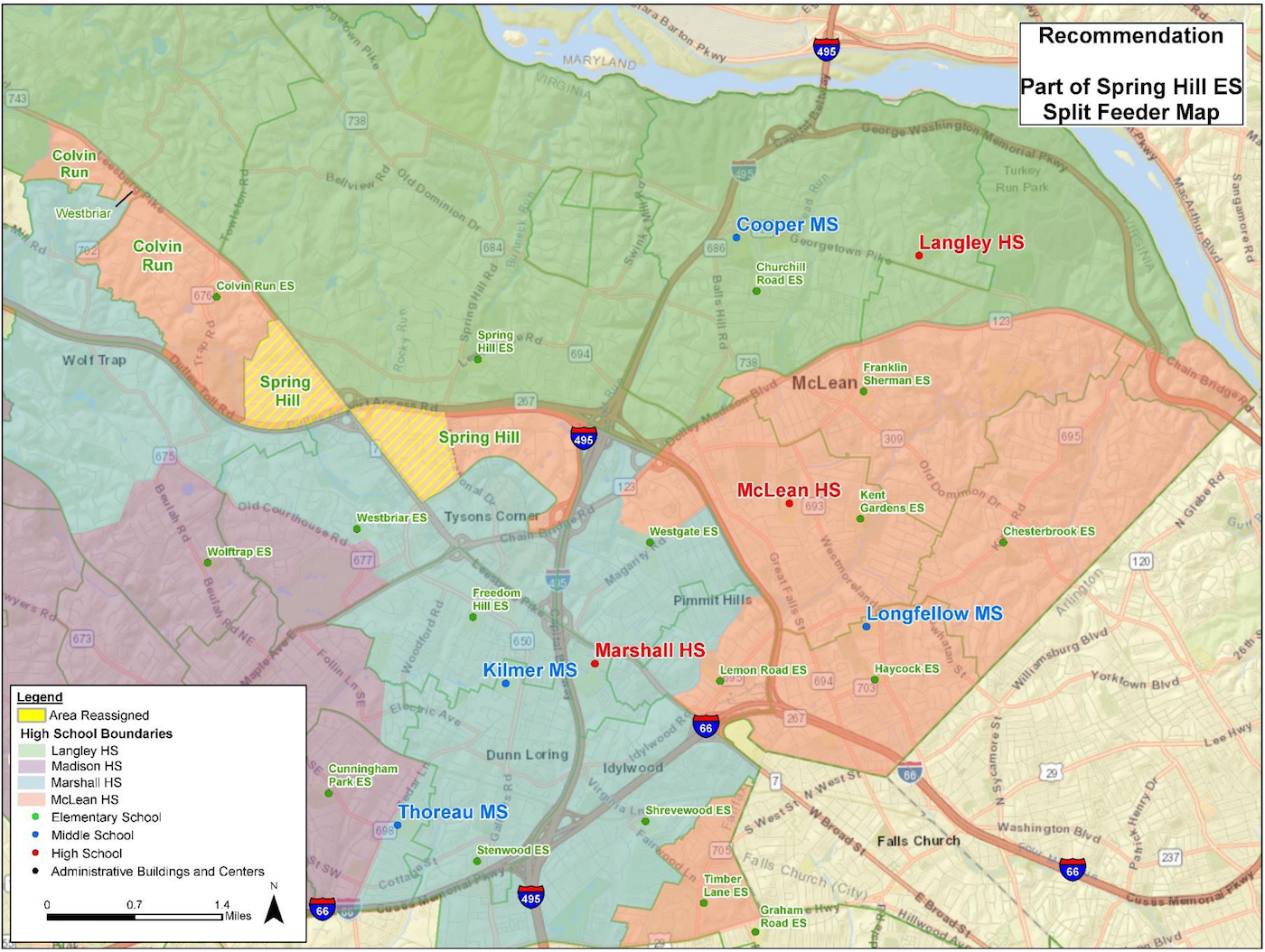
(Click on "Download .JPG" to see large map.) The area in yellow shows the FCPS’ recommended proposed boundary adjustment areas to be reassigned.